Learn about current park closures and updates.
Learn about current park closures and updates.


(760) 765-4098, (760) 814-0208
Santa Ysabel East Staging Area: 500 Farmer Road, Julian, CA,
92036
View the Santa Ysabel East Trail
Map for SYE.
Santa Ysabel West Staging Area: 29510 Hwy. 78, Santa Ysabel,
CA. 92070
View the Santa Ysabel West Trail
Map for SYW.
Hwy 79 Staging Area: 23000 Hwy. 79, Santa Ysabel, CA, 92070
Hours: 8 a.m. – sunset, daily
Pedestrian access is available from sunrise to sunset, daily. No public vehicle access or restroom availability on December 25.
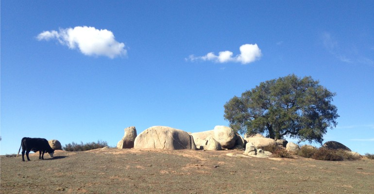
The Santa Ysabel Preserves are surrounded by oak woodlands, native
grasslands and fields of wildflowers. Set in a beautiful natural
landscape of gently rolling hills, hikers, cyclists, and equestrians
will enjoy an outdoor adventure within this combined 4,600-acre
sanctuary. Discover more than 15 miles of trails through both the East
and West Preserves including two loops that traverse through unique
habitats – over the river and through the woods! Picnic tables and a
rest area are available.
For your safety, stay on trails and avoid playing in the creek. Carry plenty of water, dress in layers, and wear sunscreen and appropriate footwear.
Overnight camping is not allowed.
